 Natural History of Vermont’s Champlain Valley and Beyond
VMN FLIX New additions:
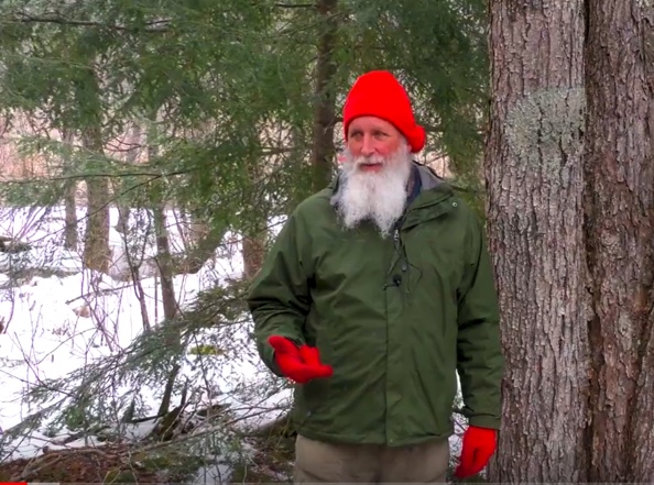 Watch this 3 Part series of Reading the Forested Landscape with Tom Wessels: https://www.youtube.com/watch?v=zcLQz-oR6sw
 Visit the link for a series of Vermont Master Naturalist hikes: https://www.youtube.com/channel/UCpHKLKPDnW6fb0GBAzrHROA/featured
Here is the link to an article to accompany the Bedrock to Birds hike:
Bedrock to Birds: Wildlands of Burlington and Beyond
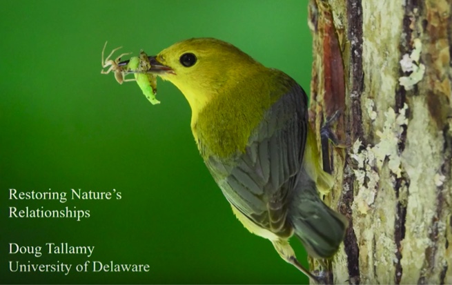
If you only watch one video on the importance of protecting biodiversity (i.e. life on earth as we know it) it should be this one by Doug Tallamy: https://www.youtube.com/watch?v=lrRJm-yLsQ8
Wildlife and Other Biodiversity
- Champlain Valley Wildlife Habitat, Connectivity & Biodiversity Workshop Series. And here is the link: https://docs.google.com/document/d/10FMWMJ-gUKe7voYX4l9HhLbiOMD0ieSVOrFJsIzfRN0/edit.
- Wildlife crossing a fallen log for a year. Amazing and beautiful: https://www.youtube.com/watch?v=qsDU_tTgsFw
- A Shared Life: People and Biodiversity in Vermont” – arcg.is/uaymH
- “Vermonter’s Guide for Protecting Biodiversity” – https://drive.google.com/file/d/1Dg8wIjB7SwSCqpTnhdY3tNhz3sbthGxf/view
- Bryan Pfeiffer’s incredible blog The Viral Spring: https://bryanpfeiffer.com/the-viral-spring/?fbclid=IwAR3x7hhT95RFd_EBitGk5yJ5GWoU1P-SJ00LKmjPiUR_ZBkx11Au-8XlfAY
Cultural Geography with Jane Dorney and SAm Ford
- Evolution of Richmond Culture: https://archive.org/details/mmtvvt-Evolution_of_Richmond_s_Cultural_Landscape_2-10-19
- The Evolving Cutural and Natural Landscape of Huntington: https://archive.org/details/huntingtonhistoricaltrustdorney10242019
- Burlington Geographic talks featuring everything from bedrock to birds to human health: https://www.uvm.edu/place/burlingtongeographic/schedule/index.php
- Stonewalls and Cellar Holes with Sam Ford: https://www.youtube.com/watch?v=4a8dIVp8Flc
Things to do with kids:
Great suggestions from Crows Path: https://docs.google.com/document/d/1RMlZJZnaT5kZlOexiozMxBPRXPGJEs52uFgBXQ_naIQ/edit#
Four Winds Nature Institute: https://fwnidot.files.wordpress.com/2020/03/a-month-of-exploring-nearby-nature-for-families.pdf?fbclid=IwAR34yBvaQP7PTbVKUkxvAHCU9xj5mcAt2_v3MOzTusnHknwO_AW0GRHCtWI
Books for reading the landscape:
Reading the Forested Landscape – Tom Wessels
Wetland, Woodland, Wildland – Elizabeth H. Thompson and Eric R. Sorenson https://vtfishandwildlife.com/wetland-woodland-wildland
The Nature of Vermont – Charles Johnson
Mapping:
The Agency of Natural Resources Atlas: Vermont ANR Atlas
BioFinder: http://anrmaps.vermont.gov/websites/BioFinder2016/
Vermont Conservation Design: https://anr.vermont.gov/node/1182
Geology
The Geology of Vermont, B. Doolan, 1996
Bedrock Geology Map of Vermont
Paleontology of the Champlain Valley, Welby, 1962 (pdf)
Champlain Thrust at Lone Rock Point, Burlington
A global map showing changes over geologic time by address: http://dinosaurpictures.org/ancient-earth#540
Vermont State Rocks with descriptions and locations: https://dec.vermont.gov/geological-survey/vermont-geology/staterx
Glacial Geology
An overview of glacial processes in the Champlain valley:
Burlington and Colchester Glacial Geology (pdf)
A visualization of the formation of kame terraces and deltas during retreat of the Laurentide glacier from part of central Vermont by created by Chris Fastie, 2010
Winter Tracking
For help visualizing animal gaits, check out this awesome video by tracker Steve Leckman.
For more tracking resources, these two books are outstanding:
Tracking and the Art of Seeing: Paul Rezendes
Mammal Tracks & Sign: Mark Elbroch
Another good guide is:
Mammal Tracks : Life-Size Tracking Guide: Lynn Levine
Here is a great link about how to tell candids apart in trail camera photos:
Hydrology
Watch a drop of water travel to the closest ocean from anywhere in the world:
Winter Trees
Forest Trees of Maine
Physics of Snow
Snowpack depth and density are critical to rodent overwinter survival.
Here is a brief overview of snow crystal metamorphosis and evolution
Archaeology
For information on Vermont’s archaeological past, the UVM Consulting Archaeology Program, UMass Archaeological Services, and VELCO published a 40+ page booklet in 2011 that covers the research and excavations done on a new power line location through three Champlain Valley counties. They give a brief overview of the three main Native American periods Peter Thomas mentioned (Paleoindian, Archaic, and Woodland), descriptions of the field work and information collected on the power line route, and descriptions and photos of the artifacts they found, including how they were made and used. This booklet was given to all the schools and libraries in the region the power line passed through, and was aimed at the general public and is very readable and available to download here: https://core.tdar.org/document/391860/powerful-history-the-archaeology-of-native-people-in-the-champlain-lowlands
Signs of Spring
Newcomb’s Wildflower Guide
May Wildflower Walk at Red Rocks Park: https://www.youtube.com/watch?v=HHD9SAUzZrA
-
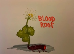 Naturalist and songwriter Heidi Wilson just posted her terrific spring ephemerals song on instagram. Here it is for you!
Naturalist Practices
Sit Spots
Julie Pacholik explores the practice of sit spots with the Crow’s Path kids:
Sit a While
From the Appalachian Mountain Club blog: https://www.outdoors.org/from-the-magazine-blog/how-to-keep-a-nature-journal.
And some of the “Hip Pocket Activities” for kids from the Appalachian Trail Conservancy work for sit spots for adults, too: http://www.appalachiantrail.org/home/explore-the-trail/hiking-basics/groups-families-and-pets/hiking-games-and-activities.
Event Maps
This is a free-form approach to mapping that incorporates drawing and writing in real-time while you’re out in the woods. You end up with a not-to-scale “treasure map” of your outing. It’s an excellent way to slow down while you’re outside. A Trail Through Leaves: The Journal as a Path to Place by Hannah Hinchman is the original source. Here is the practiced used with students as described by Laura Yayac:
Event Mapping
