
The “layer cake”
One way to understand any landscape is to imagine slicing through it like the layers of a cake and then considering all the interactions between the layers.
The Vermont Master Naturalist Program is designed upon this approach–a bedrock to birds exploration of each town. Special locations are chosen because they have stories to tell. Laid down on its side, the layer cake becomes a timeline of Vermont natural history.
More about this approach
Based on work by Scottish landscape architect Ian McHarg (UPenn), the layer cake approach first arrived in Vermont in the 1980s after UVM Field Naturalists studied it under Tom Siccama and Art Johnson at the Yale School of Forestry Camp.
Understanding the approach

Want to tag along for a VMN hike? Visit our Youtube Channel!
Geology
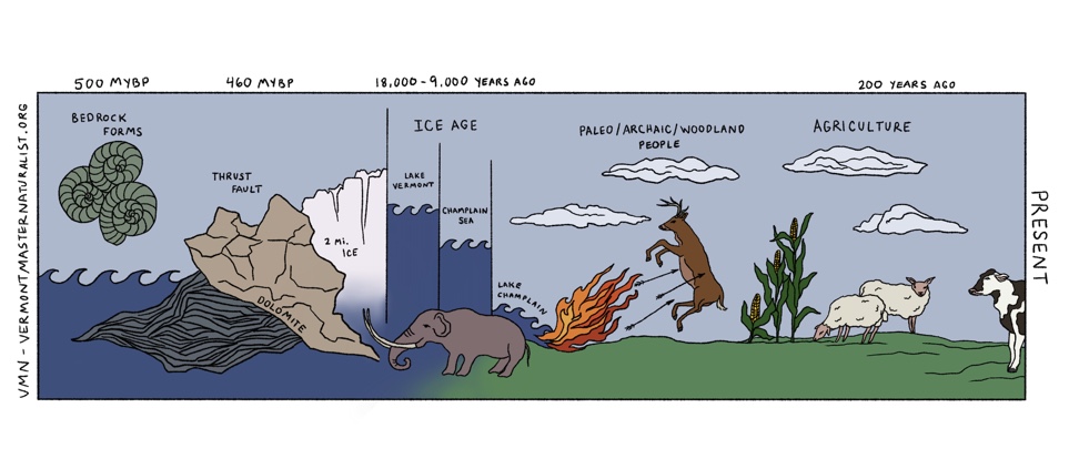
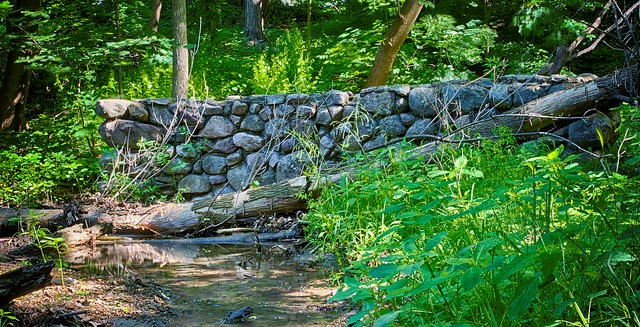
The bedrock of the Champlain Valley is mostly made up of the rumpled bed of an ancient ocean. The high and low places, the pH of the soils, the distribution of the plants and animals and how humans settle the region are all tied to the geology.
Read more
The first step to becoming a Vermont Master Naturalist is exploring the connections between the geology and these different layers in your town.
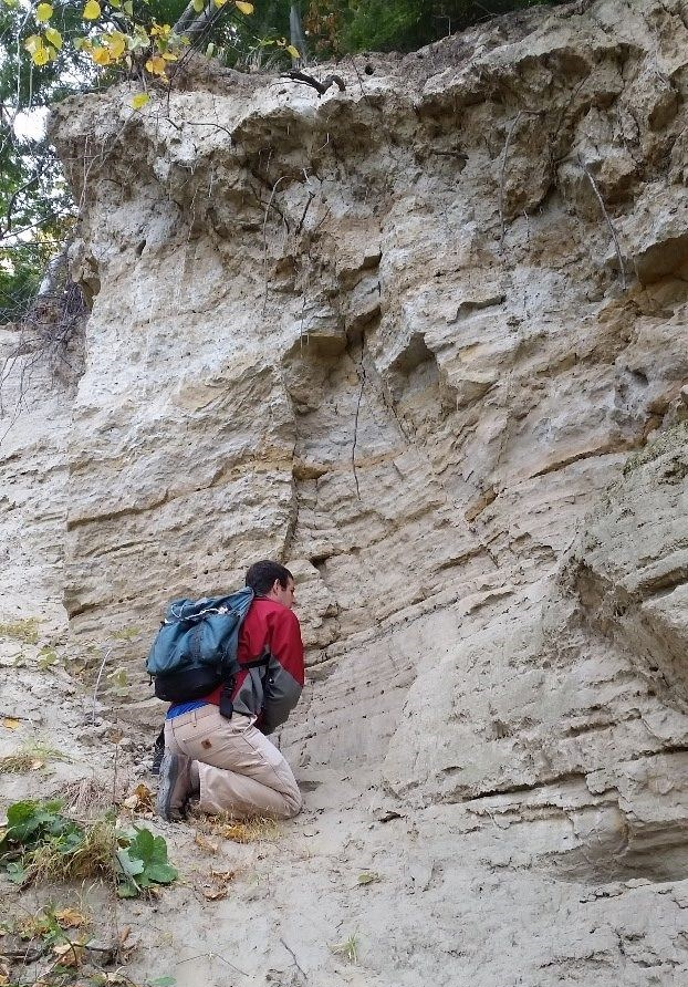
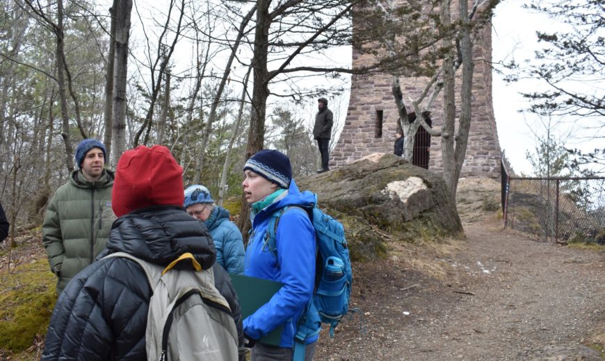
The bones of the land
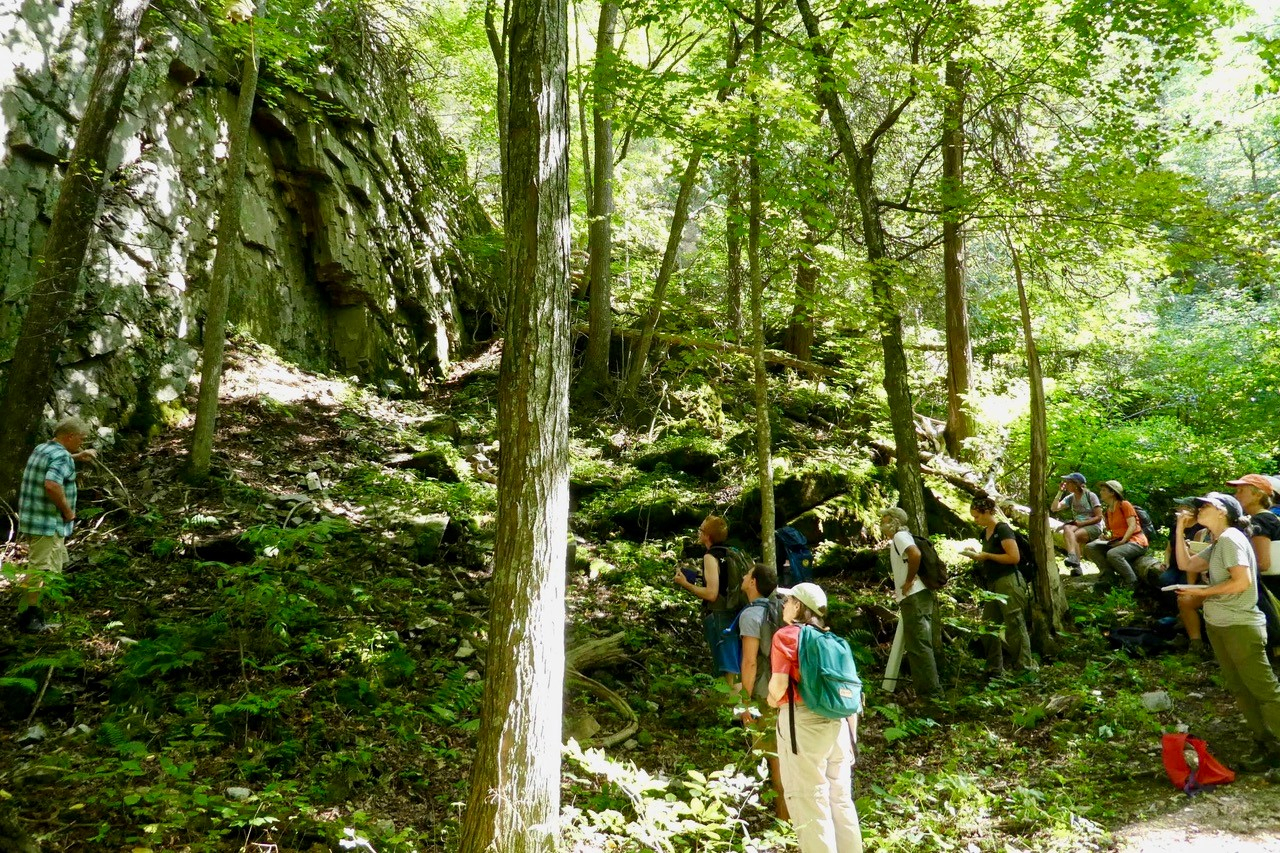


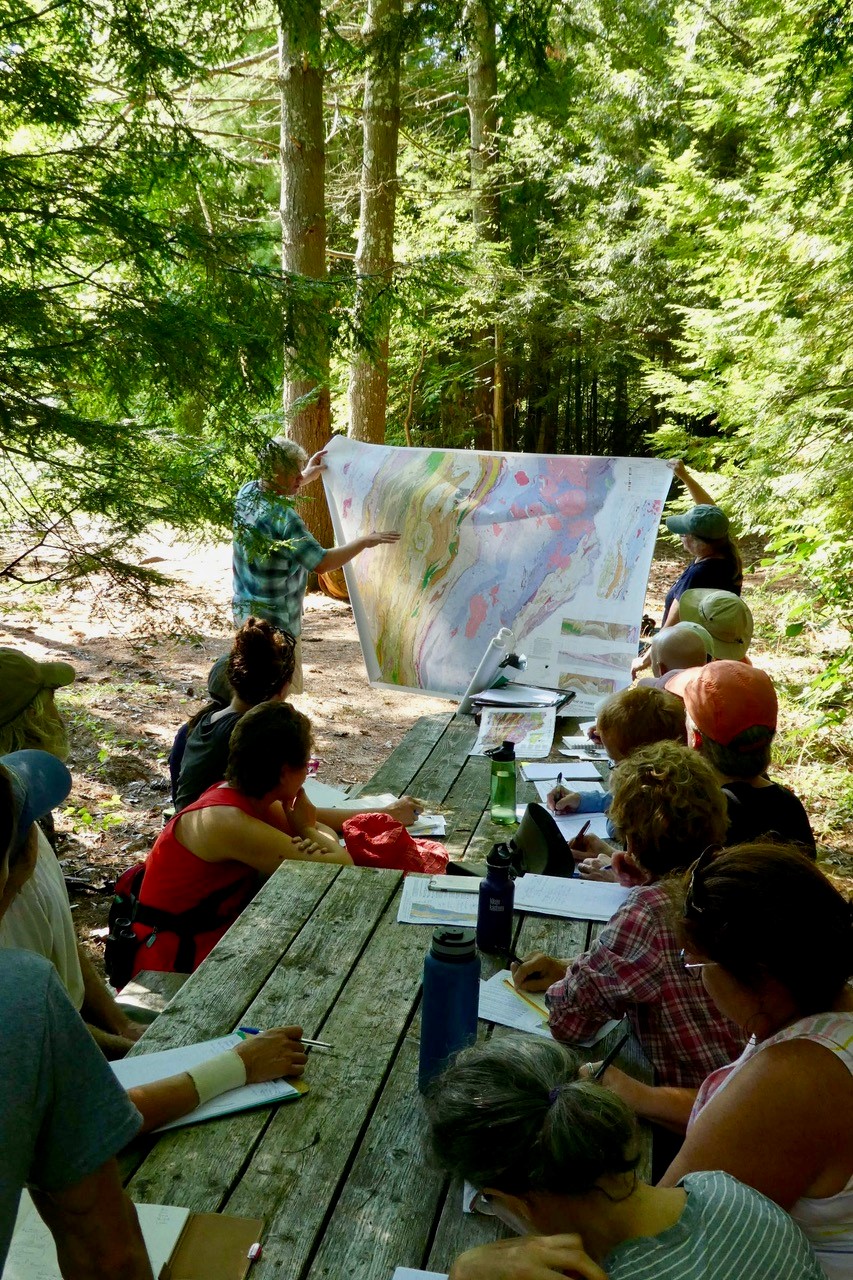
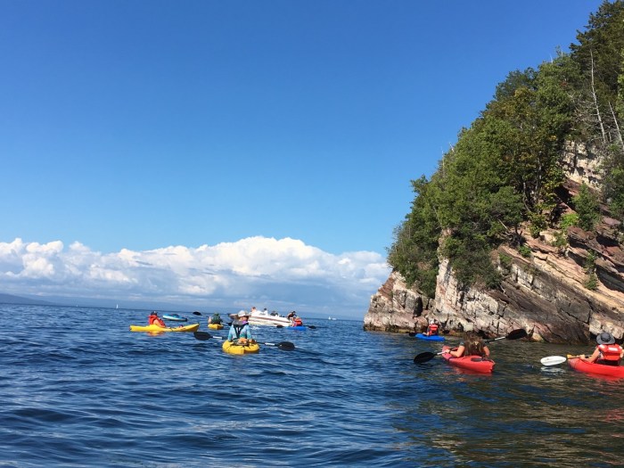
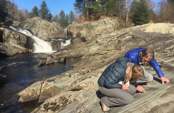
Kayaking with VMN South Burlington naturalists, who are led by Field Naturalist Sophie Mazowita, at Red Rocks Park where the Monkton layer of the Champlain Thrust Fault is exposed (top photo by Sophie Mazowita.) VMN Bristol 5 Town naturalists explore the anticline in the Cheshire formation at the Waterworks Property with hydrogeologist Bill Norland (middle photos by Monica Erhart.) VMN South Hero naturalists hunt for bryozoa, brachiopod and trilobite fossils in the Glens Falls Limestone and leave them behind for others to enjoy at Lessor’s Quarry with geologist Steve Howe (bottom photos by Guy Maguire.)
Banner photo by Sean Beckett.
Resources
The Geology of Vermont, B. Doolan, 1996
Bedrock Geology Map of Vermont
Paleontology of the Champlain Valley, Welby, 1962 (pdf)
Champlain Thrust at Lone Rock Point, Burlington
Interactive globe of ancient Earth – A global map showing changes over geologic time by location
Vermont State Rocks – common and unusual rocks of Vermont with descriptions and locations
Six metamorphic rocks – An introduction to Geology. See also, Metamorphic Rocks (and toast)
Classification of metamorphic rock – Physical Geology by Steve Earle (Open Textbook B.C.)
Barrovian Metamorphism and Metamorphic Grade – describes series of metamorphic rocks and what happens when the same parent material is metamorphosed to different degrees
540 million years of movement in six and a half minutes – begins long after the formation of the massive Grenville Mountains (basement rocks of the Adirondacks) 1.3 Billion years ago. As the video opens, those mountains have eroded away, the supercontinent Rodinia has rifted, and the Iapetus Ocean has opened up through continental drift. The stage is set for an island arc to make its way towards Vermont and uplift the Green Mountains. See also a more recent production.
Glacial history

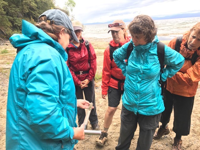
From two miles of ice flowing across the land to large glacial lakes and an inland sea, the glaciers left their mark on Vermont.
Read more
Vermont Master Naturalists study this icy legacy from kame terraces to giant deltas and lake bottom silts and clays. The soils that form in these sediments and the water that flows swiftly or slowly through them shape the natural and cultural history of each town.
The Age of ice
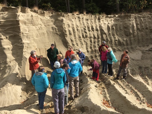

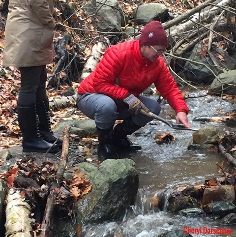
VMN Richmond naturalists dig into their town’s glacial history with hydrogeologist Craig Heindel (top two photos by Kate Blofson.) VMN Burlington naturalists explore a glacial delta (middle left photo by Becca Harris; middle right photo by Sophie Mazowita.) VMN Williston naturalists hike a transect along the Winooski River from bedrock to glacial till to clay up into to a sandy delta with Field Naturalist Sean Beckett (bottom three photos by Cheryl Dorschner.)
Banner Photo by Martin St-Amant
Resources
An overview of glacial processes in the Champlain valley:
Burlington and Colchester Glacial Geology (pdf)
A visualization of the formation of kame terraces and deltas during retreat of the Laurentide glacier from part of central Vermont by created by Chris Fastie, 2010
Winter Ecology
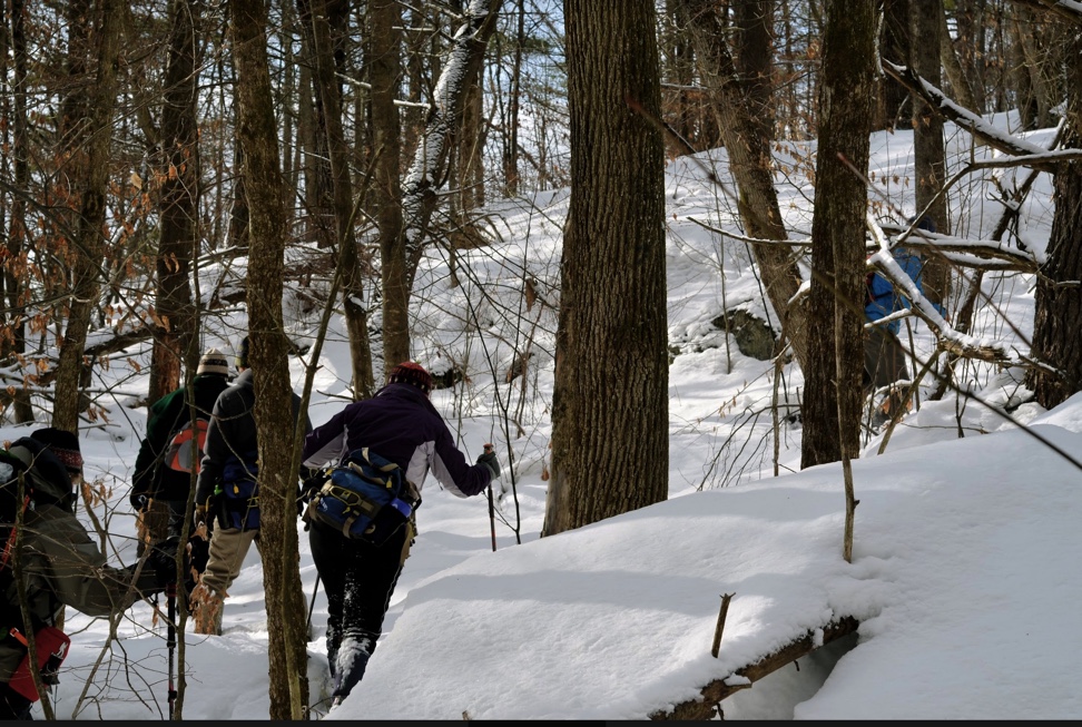
During the winter session, Vermont Master Naturalists study the post-glacial landscape, taking advantage of the season to track wildlife and study the bark and buds of winter trees.
Read more
Humans arrived in Vermont over 12,000 years ago while the cold breath of the glaciers still blew across the land. What do we know of these early natives and the rich cultural heritage that runs unbroken through time to the native Abenaki people alive in Vermont today? Vermont Master Naturalist acknowledges that we gather on the unceded land of the Abenaki people, who have cared for it for generations and continue to do so.
THE POST-GLACIAL LANDSCAPE
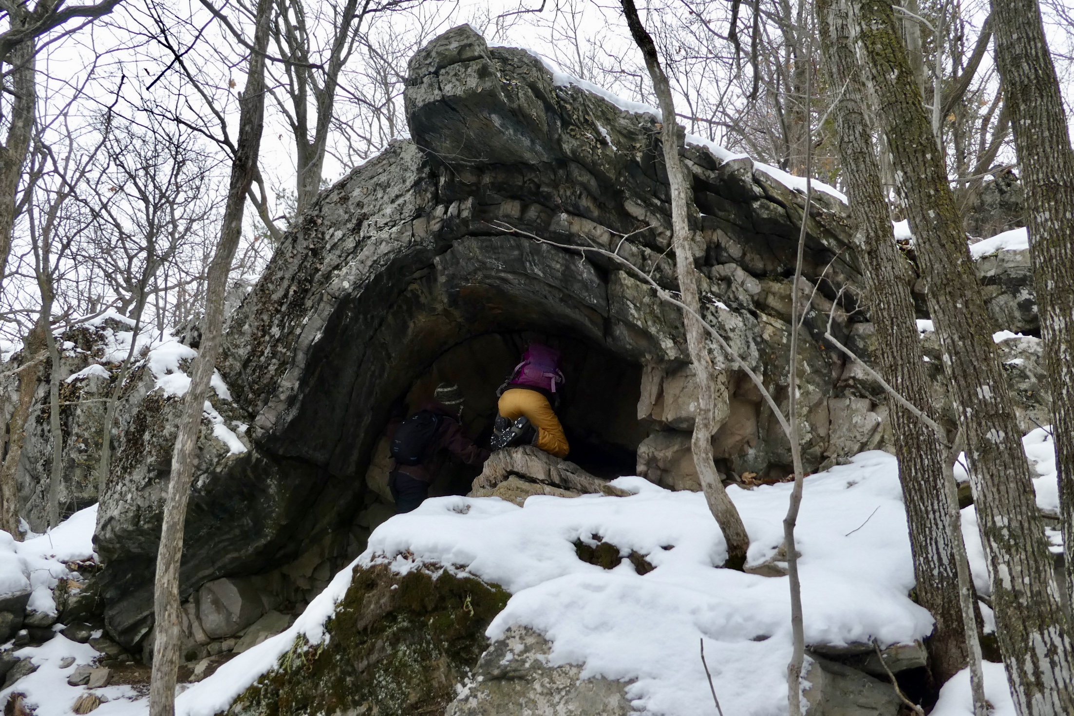
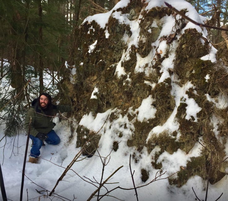
Examining a White Pine tip up Mud Pond Conservation Area with VMN Williston (photo by Cheryl Dorschner.)
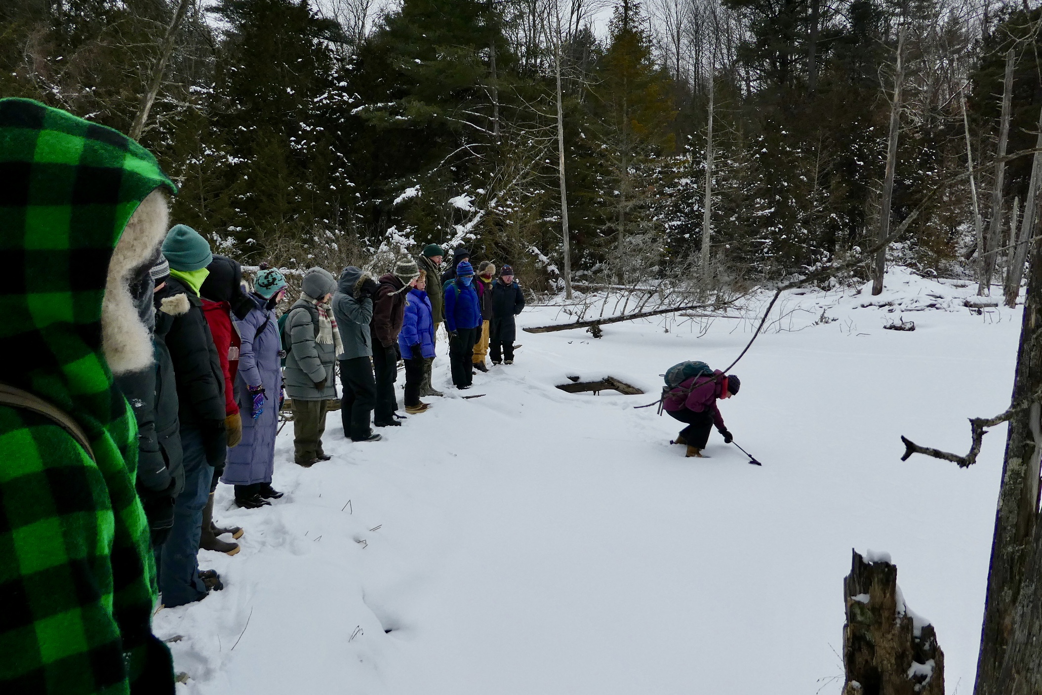
Looking at tracks on a frozen beaver pond and exploring a porcupine den at Raven Ridge Natural area with VMN Bristol 5 Town naturalists.
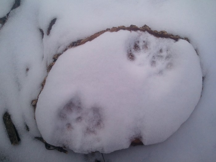
Tracking a bobcat in the new Richmond Town Forest with VMN Richmond (photo by Rebecca O’Dowd.)
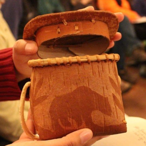
Makuk birch bark basket shared with VMN Burlington naturalists by Allaire Diamond (photo by Garrett Chisholm.)
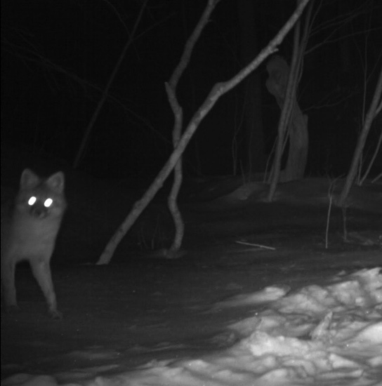
Grey fox tracks in the new Burlington Urban Wilds park (photo by Sophie Mazowita) and a grey fox captured on a trail camera at North Branch Nature Center in preparation for a field trip with NBNC naturalists Sean Beckett and Dave Muska and the VMN Winooski Headwaters team (photo: selfie by the fox.)
Resources
For help visualizing animal gaits, check out this awesome video by tracker Steve Leckman.
For more tracking resources, these two books are outstanding:
Tracking and the Art of Seeing: Paul Rezendes
Mammal Tracks & Sign: Mark Elbroch
Another good guide is:
Mammal Tracks : Life-Size Tracking Guide: Lynn Levine
Natural Communities
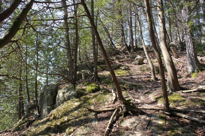
Vermont hosts over 80 natural communities ranging from The Limestone Bluff Cedar Pine Forest (banner photo) to Dry Oak Forests to Dwarf Shrub Bogs.
Read more
Natural communities are assemblages “of organisms, their physical environment, and the natural processes that affect them.” (Wetland, Woodland, Wildland, 2000) Vermont Master Naturalists explore the natural communities that give each town its unique character.
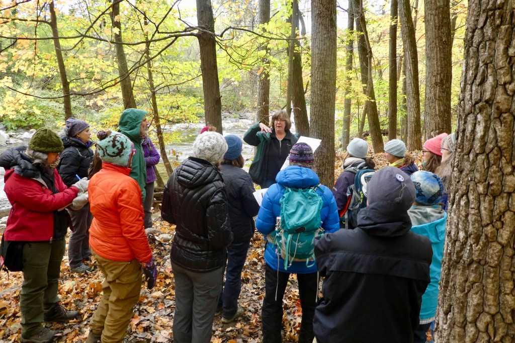
AssemblAges of plants and animals


Gus Goodwin leads VMN Richmond naturalists on a hike through a Silver Maple Ostrich Fern Riverine Floodplain Forest identifying trees and assessing soil texture (above) and VMN Burlington naturalists (’17) visit a Pine-Oak-Heath Sandplain Forest (bottom.) Banner photo by Sean Beckett; Richmond photos by Kate Blofson.
Cultural Geography
During the past 250 years the Vermont landscape has recorded the history of European settlement in its stonewalls, cellar holes, cut stumps, barbed wire, lilac bushes, apple trees, and other signs in the forests.
Read more
Why did people choose to settle where they did? When did they leave and what did they leave behind? Vermont Master Naturalists explore these and other questions on a trip through the cultural geography of their town.
EUROPEAN SETTLEMENT DEEPLY ALTERS THE LAND
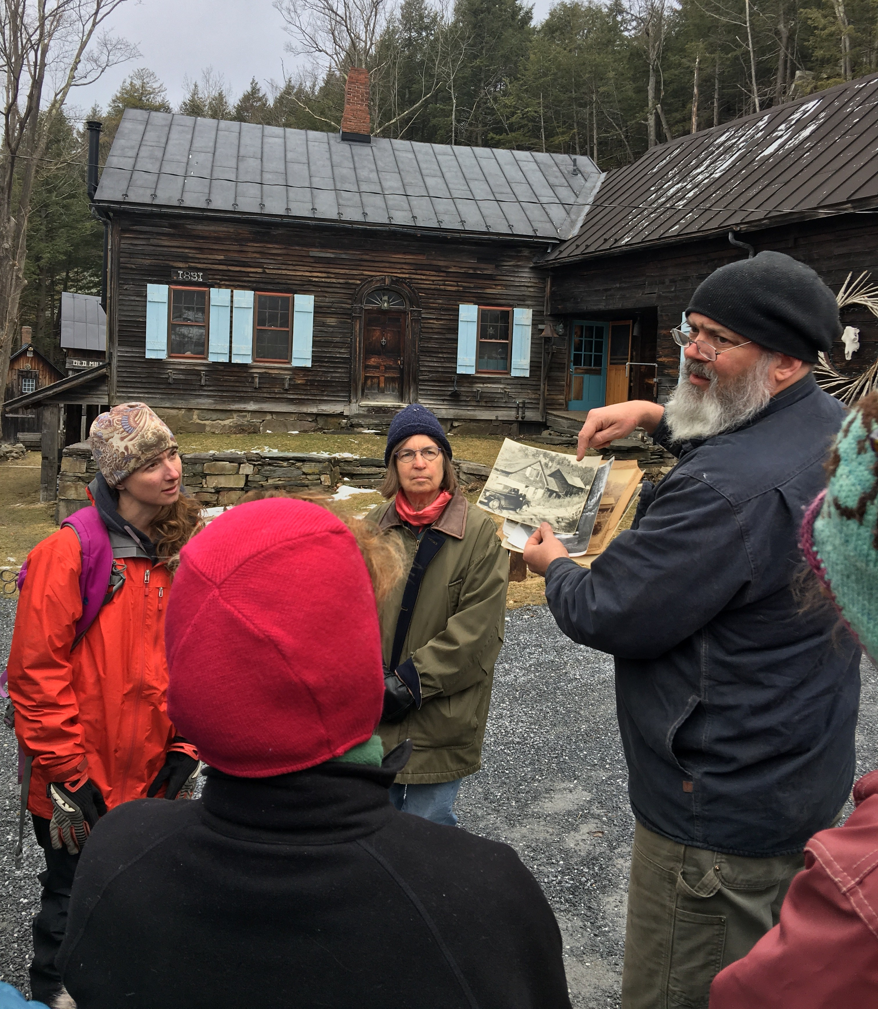


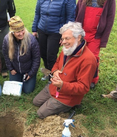
Ed Hall shows VMN Bristol 5 Town naturalists early 1900s photos of the Hoag Grist Mill and adjacent saw mill in Starkboro. The grist mill dates from 1799, while Ed Hall’s house (behind the group) was built in 1831. Typically grist mills for grinding wheat into flour were some of the earliest structures built in a village (photo by Ruth Beecher.) Read more about the day here.
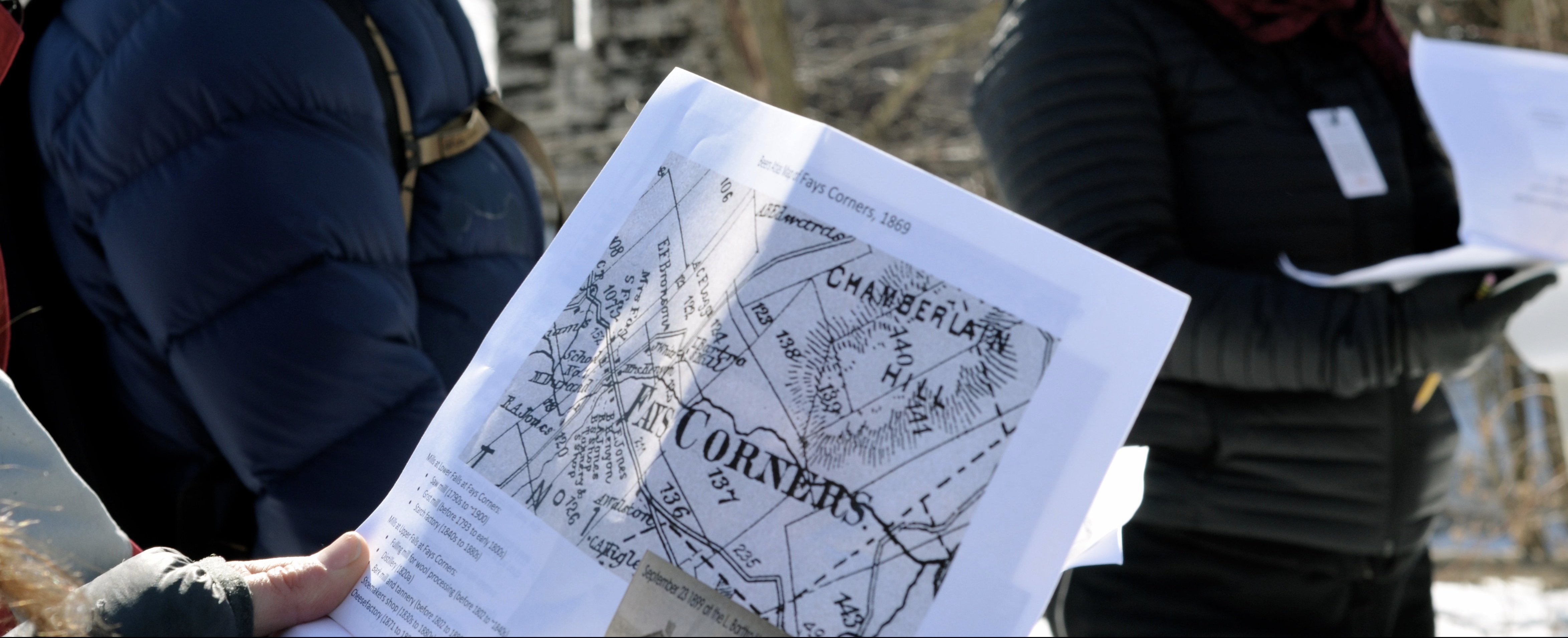
VMN Richmond naturalists compare old maps showing the blacksmith, harness shop and tannery to current buildings at Fay’s Corner (photo by Rebecca O’Dowd.)
Jeff Forward (VMN Richmond ’19) and cultural geographer Jane Dorney hold a photograph of his farm from the early 1900s (photo by Sandra Enman.) The barn on the farm has three distinct architectural styles–English, Bank and Gambrel–that date from the early 1800s through the mid-1900s. These additions to the barn document how the farmers adapted from subsistence farming to sheep and then to dairy. VMN Richmond naturalist standing in the doorway of the barn (photo by Terry Marron.)
Cultural geographer Jane Dorney leads VMN Burlington naturalists on a walk through the City’s past from the site of multiple mills on the Winooski River to the old center of trade down by the waterfront (photos by Clinton Sears.)
Samantha Ford leads VMN Burlington naturalists on an exploration of Ethan Allen Park. (Photo by Becca Harris)
Kristen Underwood discusses manufacturing history including a coffin shop along the New Haven River with VMN naturalists from the Bristol 5 Town program.
Banner photo by Sean Beckett
Warblers & Wildflowers
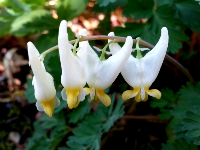
Spring arrives in Vermont on the wings of warblers and in the unfurling of wildflowers on the forest floor, which come poking up through leaves that “fit the earth like a leather glove,” as Robert Frost wrote in In Hardwood Groves.
Read more
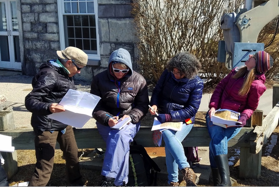
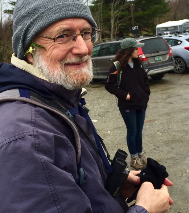
The smell of the damp earth and the trickle of running water return to the forests. Vermont Master Naturalists soak up the signs of spring on walks through the wild places in their towns. Vermont Master Naturalists in Williston spend a day keying wildflowers while leaving them in place (flower in the photo above was from a yard garden) and watching birds (photo by Cheryl Dorschner.)
Signs of Spring

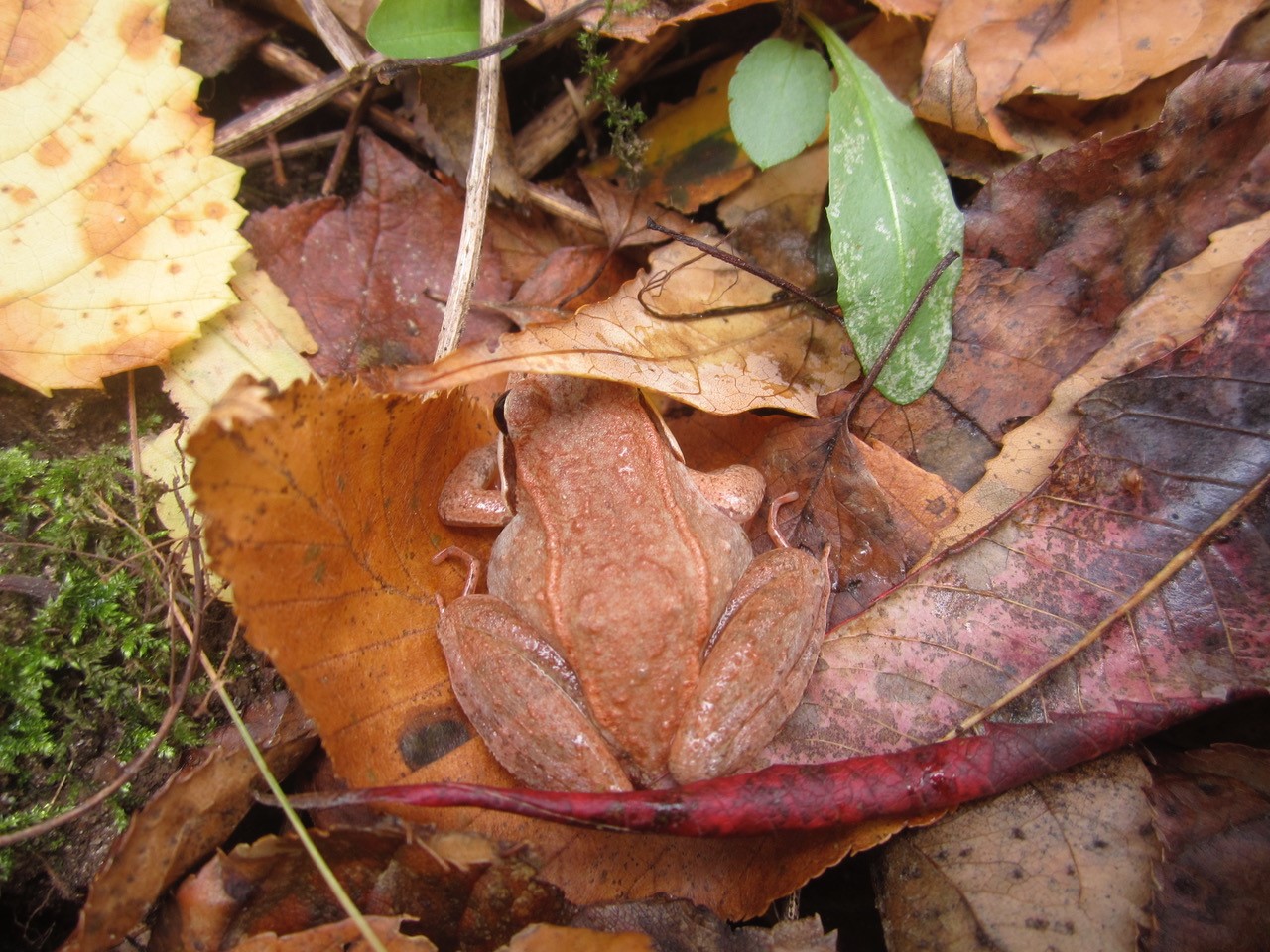

Yellow Warbler (photo by Sean Beckett) and Wood Frog (photo by Shelby Perry)
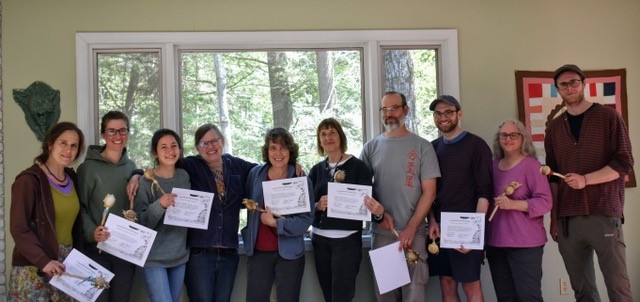
VMN Burlington Master Naturalists (’18) celebrate their graduation (photo by Kate Kruesi.) Photo of VMN cap and certificate by Cheryl Dorschner.
Banner photo by Lisa Liotta
